Precision Aerial Mapping
Optimize your orchard layouts and water flows with RedBlue Tec’s precision aerial mapping technology.
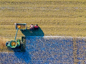
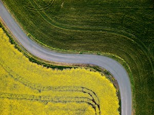
Precision Aerial Mapping for Agriculture
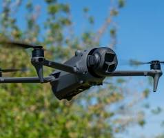
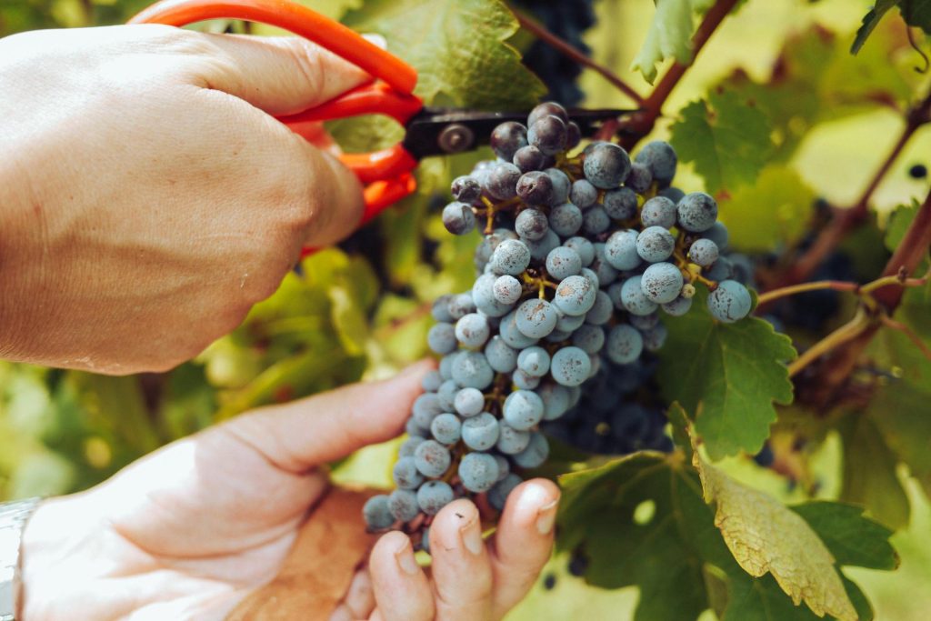
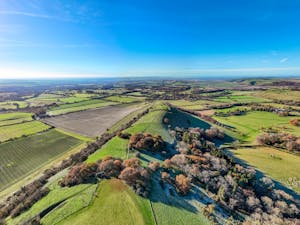
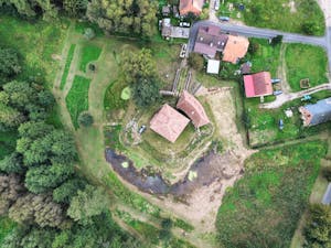
Using the latest aerial technology, we provide detailed maps to assist fruit growers in planning their orchard layouts. Our maps offer a bird’s eye view of your farm, allowing for precise calculations and accurate measurements.
With RedBlue Tec, you can turn aerial data into actionable insights for your farming operations.
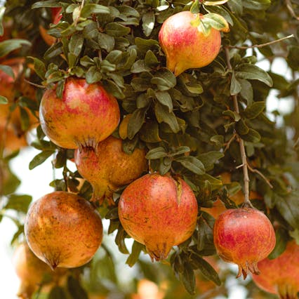
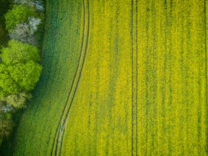
Orchard Layout Planning
Our drones provide highly accurate data for mapping fruit fields, helping farmers plan their orchard layouts with precision.
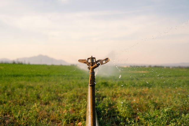
With the detailed information gathered by our drones, fruit growers and irrigation managers can also calculate water flows and pipe sizing for their fields, saving time and resources.
Optimize Your Irrigation System
Our mapping technology provides actionable insights to help you improve your irrigation system and achieve higher fruit yields.
Precision Orchard Layouts
Our aerial mapping data allows you to accurately plan your orchard layout, ensuring optimal use of space and resources.
Control Water Flows with Ease
With our technology, you can easily calculate water flows and pipe sizing for your irrigation system, reducing waste and increasing efficiency.
Increase Your Fruit Yields
Utilizing our data and insights, you can optimize your farming practices to achieve higher fruit yields and maximize your profits.
Leading Aerial Mapping Technology for Fruit Farming
Improving Orchard Layout and Irrigation Systems
At RedBlue Tec, we are dedicated to utilizing cutting-edge technology to improve fruit farming.
With our aerial data, growers and managers can easily plan orchard layouts, accurately calculate water flows, and determine the appropriate pipe sizing for their fruit fields.
Say goodbye to guesswork and hello to data-driven agriculture. Trust RedBlue Tec to provide the best precision aerial mapping services for your fruit farming needs.
What Our Clients Are Saying
Hear from our satisfied customers about how RedBlue Tec and our precision mapping services have helped them revolutionize their fruit farming strategies.

Using RedBlue Tec’s precision mapping services has completely transformed the way we plan our orchard layouts. The detailed aerial data and actionable insights have improved our efficiency and overall yield.
John Smith
ABC Orchard

As an irrigation manager, I have been able to accurately calculate water flows and properly size pipes thanks to RedBlue Tec’s precision aerial mapping.
Jane Brown
XYZ Farms

Our experience with RedBlue Tec’s precision mapping has been nothing short of amazing.
David Jones
123 Farms

We have been using RedBlue Tec’s precision mapping services for a few months now and have seen a significant improvement in our fruit farming processes.
Sarah Green
Acme Orchards
Frequently Asked Questions
RedBlue Tec’s Precision Aerial Mapping Technology for Fruit Growers
Precision aerial mapping technology is a method of collecting and analyzing data from aerial images to create accurate maps and models. It uses advanced software and sensors to capture and process high-resolution images, providing detailed information about a specific area.
Precision aerial mapping technology can provide fruit growers with valuable insights about their orchards. This includes data on orchard layouts, water flows, and pipe sizing, all of which can help with planning and irrigation management.
RedBlue Tec’s precision aerial mapping technology combines the latest software and sensors with our expertise in fruit farming.