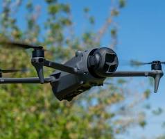
Precision Aerial Mapping
Optimize your orchard layouts and water flows with RedBlue Tec’s precision aerial mapping technology.
Precision Aerial Mapping for Agriculture
Using the latest aerial technology, we provide detailed maps to assist fruit growers in planning their orchard layouts. Our maps offer a bird’s eye view of your farm, allowing for precise calculations and accurate measurements.
With RedBlue Tec, you can turn aerial data into actionable insights for your farming operations.
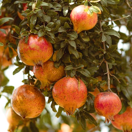
Orchard Layout Planning
Our drones provide highly accurate data for mapping fruit fields, helping farmers plan their orchard layouts with precision.
With the detailed information gathered by our drones, fruit growers and irrigation managers can also calculate water flows and pipe sizing for their fields, saving time and resources.
Optimize Your Irrigation System
Our mapping technology provides actionable insights to help you improve your irrigation system and achieve higher fruit yields.

Precision Orchard Layouts
Our aerial mapping data allows you to accurately plan your orchard layout, ensuring optimal use of space and resources.
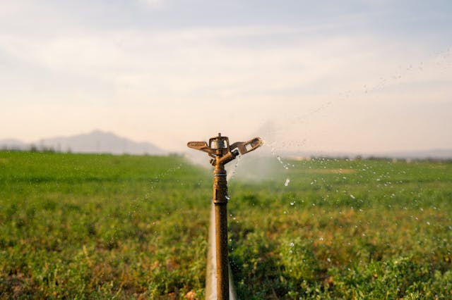
Control Water Flows with Ease
With our technology, you can easily calculate water flows and pipe sizing for your irrigation system, reducing waste and increasing efficiency.
Increase Your Fruit Yields
Utilizing our data and insights, you can optimize your farming practices to achieve higher fruit yields and maximize your profits.